top of page
Selous Nyerere

Selous-Nyerere Landscape

The Selous-Nyerere landscape in Tanzania

The Selous-Nyerere landscape in southern Tanzania is one of Africa’s largest wilderness areas. Established in 1922, Selous Game Reserve was until recently the largest protected area on the African continent, covering an area of more than 50,000 km2. It was designated as a UNESCO World Heritage Site in 1982, in recognition of its vast wilderness and diverse wildlife populations. The area also contains a great deal of history: the Reserve was named after Frederik Selous, an explorer who died inside the Reserve in 1917 during the Battle of Behobeho in WWI.


In 2019, the Government of Tanzania upgraded nearly two thirds of Selous to National Park status, with the remaining 20,000 km2 continuing on as Selous Game Reserve. This new park was named Nyerere National Park in honour of Julius Nyerere, the first president of Tanzania. At over 30,000km2, Nyerere covers an area the size of Belgium, and is the largest National Park in Tanzania – a title previously held by Ruaha National Park.

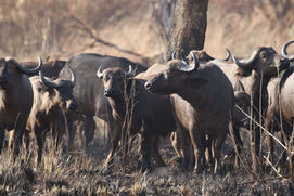
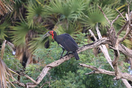
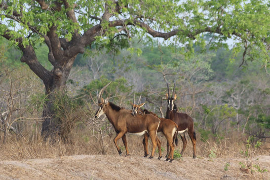
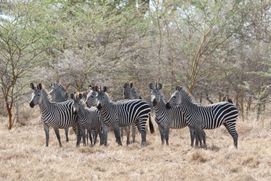
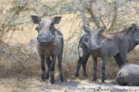
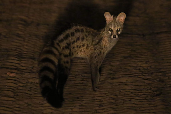
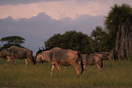
The Selous-Nyerere landscape is believed to potentially be home to Africa’s largest population of both lion and the endangered African wild dog, as well as globally important populations of leopard and spotted hyaena. The area also hosts important populations of many other species, including buffalo, elephant, eland, sable antelope, and hippo, and boasts more than 400 species of birds. Its vast footprint encompasses an exceptional variety of habitats, including open grasslands, miombo woodlands, riverine forests, swamps and lakes. The Great Ruaha, Rufiji, and Kilombero Rivers all flow within its borders.

Nyerere NP wild dogs close up.JPG
Nyerere NP lion.JPG

Understanding Selous-Nyerere’s large carnivore populations and helping their protection

Lion Landscapes Tanzania recently expanded its activities to the Selous-Nyerere ecosystem, in recognition of the landscape’s critical importance for large carnivores and other wildlife. In this new landscape, our teams are working to establish a human-wildlife conflict mitigation programme, conduct baseline ecological surveys, and help management authorities increase their conservation capacity and develop a long-term monitoring programme for the ecosystem’s large carnivore populations. All of this work is informed by our experience in Ruaha-Rungwa.

In September 2020, Lion Landscapes began conducting a large scale assessment of Selous-Nyerere’s large carnivore populations, in collaboration with partners Frankfurt Zoological Society, the Tanzania Wildlife Management Authority (TAWA), Tanzania National Parks Authority (TANAPA) and Tanzania Wildlife Research Institute (TAWIRI). This work is continuing in 2021 and beyond, and will allow us to better understand the lion, leopard, spotted hyaena, and wild dog populations in this critical landscape.

Project team Matambwe 2020.jpeg

Throughout these surveys, we will be working closely with management staff of Selous Game Reserve (TAWA) and Nyerere National Park (TANAPA) to deliver in-depth training in large carnivore survey methods, so that they can continue to monitor the landscape’s carnivore populations in the future.


In 2020, we carried out sign-based and camera trap surveys in Nyerere National Park’s Matambwe sector, where the Park’s photographic tourism activities are concentrated. We also provided training in field-based and analytical large carnivore research and monitoring techniques to a number of staff from our institutional partners, including TAWA, TAWIRI, and TANAPA.

Training spoor_Selous gr 2021.jpg
Training CT_Nyerere NP 2020.jpeg

In 2021, we are continuing these surveys in Selous Game Reserve, which is instead designated for trophy hunting, again using a combination of systematic camera trapping and large-scale sign-based surveys. The data collected from our camera traps will be used to estimate population density of lion, leopard, and spotted hyaena, while the spoor (sign) data will be employed to investigate distribution and habitat use of large carnivores, their prey, and anthropogenic impacts across the wider landscape. 


All the data we collect will be analysed in conjunction with management authorities, to ensure that it is directly employed to improve the conservation outlook of these critical populations. It will play an important role in helping improve the protection of one of Africa’s last remaining great wildernesses.

Nyerere CT photo_hyaena.JPG
Nyerere CT photo_wild dogs.JPG
Nyerere CT photo_lion.JPG
Nyerere CT photo_leopard.JPG

Reducing human-wildlife conflict

Lion Landscapes also began community work in the Selous-Nyerere landscape in August 2020, focusing on the Rufiji district. Communities in this area live alongside the Rufiji River, and there is almost no buffer between village lands and the neighbouring Protected Areas. As a result, the area suffers from high levels of conflict between pastoralists and carnivores.


It can take a long time to build trust and educate people about our mission to reduce human-wildlife conflict in a new landscape. Because of this, one of our first activities was to organise a stakeholder meeting at the local cattle market so that we could learn more about the needs and challenges of the pastoralists in this area. Members of the Sukuma and Barabaig tribe were there to share their challenges living side-by-side with carnivores – some of their experiences were familiar from our long-standing work in the Ruaha landscape (such as hyaenas coming at night to bomas), while others were novel for us (such as baboons predating baby goats or crocodiles eating cows when they cross the Rufiji river).


In January 2021, we built the first fortified livestock enclosure in the village of Kipo. These livestock enclosures have been shown to reduce livestock depredations by 95% in the Ruaha landscape and we're hoping to see similar results in this new landscape. We also employed two local Conflict Officers in the villages of Kipo and Nkundunyikanza who are collecting base-line data on livestock depredations by carnivores in the area. These data are invaluable to better identify conflict hotspots and target conflict-mitigation measures.

Selous_edited.jpg
BomasKipoRufijiJan21_4.jpeg
bottom of page